The Himalayas
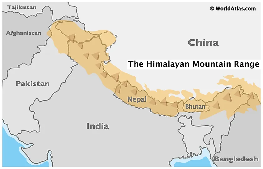
The Himalayas are the greatest mountain system in Asia and one of the planet’s youngest mountain ranges, that extends for more than 2,400km across the nations of Bhutan, China, India, Nepal, and Pakistan. The term ‘Himalaya’ literally means the ‘Abode of Snow’ and has been derived from a combination of two Sanskrit words, ‘Hima’ which means ‘snow’ and ‘Alaya’ which means ‘Abode’. The Himalayas act as a mighty barrier between the Tibetan Plateau in the north and the Indian subcontinent in the south. Some of the highest peaks in the world are located in the Himalayas, including Mount Everest, Kangchenjunga, Lhotse, Makalu, Cho Oyu, etc.
Geography Of The Himalayas
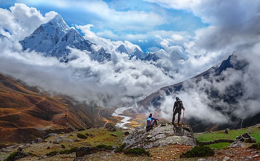 Mountaineers admiring the snow-capped peaks of the Himalayas.
The Himalayas are considered as the world’s youngest, tallest, and most populated mountain systems. The Himalayas are bounded by the Tibetan Plateau in the north; the 800km long Hindu Kush and 500km long Karakoram Mountain ranges in the northwest; and by the vast Indo-Gangetic Plains in the south. The mighty Himalayan Mountain Range covers an area of about 595,000 sq. km and its maximum width varies between 150 to 350km. The major portion of the Himalayan Mountain Range is occupied by the countries of Nepal, Bhutan, and India, though some parts of this massive mountain range are also occupied by China as well as by Pakistan. 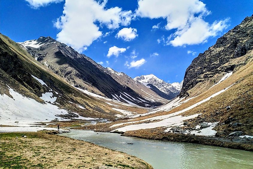 Morinda Tal, a glacial lake in the Himalayan mountains of Uttarakhand, India.
The Himalayan Mountains contain a series of parallel mountain ranges which include the Tibetan Himalayas, the Greater Himalayas, the Lesser Himalayas, and the Siwalik ranges. From the west to east direction, the Himalayan Mountains are further divided into three regions namely, the Western, Central, and Eastern Himalayas. The Himalayan Mountains are also referred to as the “Third Pole” as these mountains contain the third-largest deposition of ice and snow on the planet after the Arctic and the Antarctic regions. It is estimated that there are more than 15,000 glaciers in the Himalayas including the Gangotri, Khumbu, Langtang, Yamunotri, and Zemu glaciers.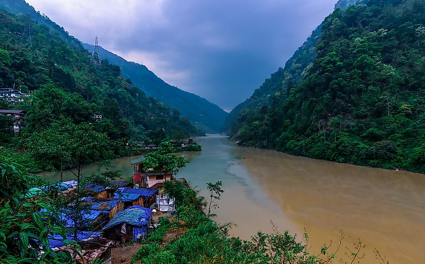 The Teesta River in Sikkim, India.
The glaciers of the Himalayan Mountains store more than 12,000 cubic kilometers of freshwater and are the source of some of the major rivers including the Brahmaputra, Ganges, Indus, Yamuna, etc. Many lakes are found in the Himalayan region including the Pangong Lake, Tilicho Lake, Gurudongmar Lake, She-Phoksundo Lake, Manasarovar Lake, Tsongmo Lake, etc. At present, at least 53 million people reside in the Himalayan region.
Geology Of The Himalayas
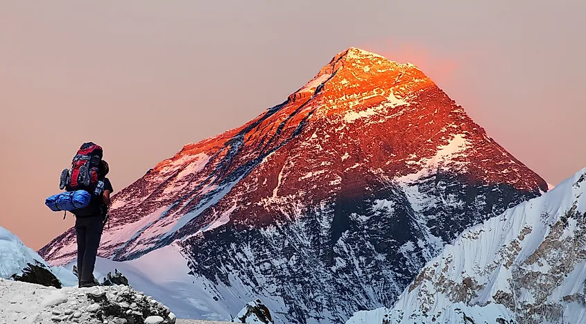 Mount Everest, the world's highest mountain is located in the Himalayas.
It is believed that over the past 65 million years, several worldwide plate-tectonic events have led to the movement of the Earth’s crust to form a vast number of mountain ranges. About 201 to 145 million years ago, during the Jurassic Period, the entire southern fringe of Eurasia was bordered by the Tethys Ocean. The Gondwana supercontinent began to break up about 180 million years ago, and the Indo-Australian Plate began to move in the northeastward direction towards the Eurasian Plate. This fast-moving Indo-Australian Plate started gradually compressing the Tethys Sea. The increased compressive forces led to the upliftment of the masses of rocks from the deep depths. The Indo-Australian Plate eventually collided with the Eurasian Plate between 40 and 50 million years ago. In due course, the Tethys Sea completely narrowed and its sea bottom was pushed upwards by the subducting Indo-Australian Plate, leading to the formation of the Tibetan Plateau and the mighty Himalayan Mountain ranges. Geologists believe that the Indo-Australian Plate is still being continuously forced underneath the Tibetan Plateau, which is leading to the rise of the Tibetan Plateau and the Himalayas at a rate of 5mm per annum. For this reason, the Himalayan region remains ‘geologically active’ and is highly prone to earthquakes, and other natural disasters from time to time.
Climate
The Himalayan Mountains significantly affect the climate of the entire Indian subcontinent. The mountain range acts as a massive climatic barrier that prevents the cold, dry winds from the northern regions from reaching the plains of the Indian subcontinent. The Himalayas also form a barrier for the southwest monsoons and prevent them from crossing over to the northern side, leading to heavy precipitation on the Indian side of the mountain range. The annual mean temperature in the Indian Himalayas ranges from -30°C to 25°C, while the annual precipitation ranges from 1,500mm to more than 4,800mm.
Ecology Of The Himalayas
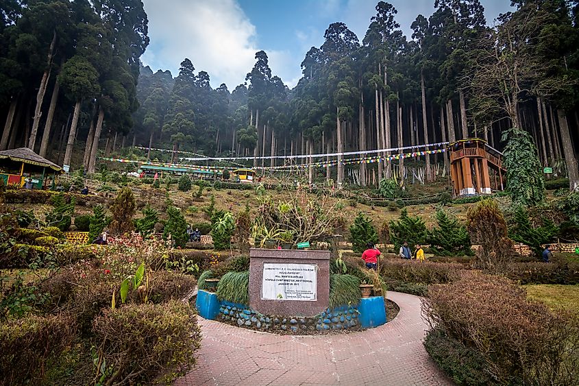 Pine forests in the Himalayas of Darjeeling, West Bengal, India.
The massive Himalayan Mountain Range is home to several exotic flora and fauna. At altitudes between 3,000m to 5,000m, alpine shrubs and meadows are found. The lower shrublands are covered by rhododendrons, while the alpine meadows support a wide range of flora during the warm season. Juniperus tibetica is the highest known tree species in the Himalayas that grow at an elevation of 4,900m in the southeastern part of Tibet. At elevations of 2,500m to 4,000m, temperate sub-alpine coniferous forests are found. Fir, pine, hemlock, and spruce are the dominant trees in the area. In the middle elevations of 2,000m to 3,000m, broadleaf and coniferous forests are found. In addition to this, plants like orchids, ferns, oaks, and maple also grow in the area. The lower elevations are dominated by the subtropical broadleaf forests. Snow leopards in the Spiti Valley of Himachal Pradesh, India.


