Tech and Beyound: Mastering Drone Mapping

Tech and Beyound: Mastering Drone Mapping

Introduction
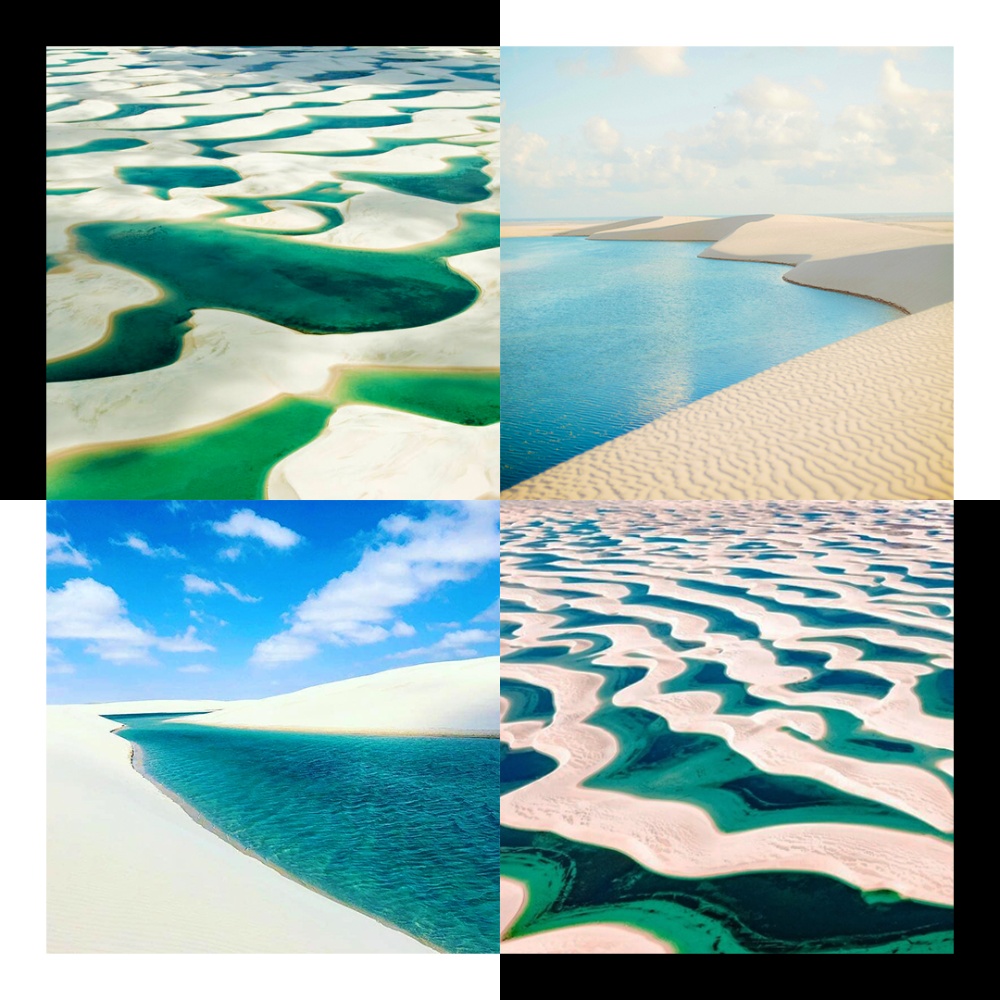
Drone mapping has rapidly evolved from a niche technology into a mainstream tool utilized across various industries. Whether you’re mapping agricultural fields, construction sites, or natural landscapes, proficiency in drone mapping can open up a world of opportunities. But to achieve the high levels of accuracy required for professional applications, a deep understanding of the necessary equipment, software, and workflow is essential. This article delves into the key aspects of drone mapping, from the basic tools needed to the advanced techniques that ensure survey-grade precision.
The Essential Equipment for Drone Mapping
To get started with drone mapping, you need a few critical pieces of equipment: a drone, a camera, and a GPS system. Basic drones equipped with standard cameras can handle simple 2D or 3D mapping tasks, such as creating orthomosaic maps or basic models of small areas. However, these basic setups may fall short when it comes to projects that require high precision, such as topographical surveys or infrastructure inspections.
For survey-grade accuracy, you need more specialized equipment. A high-quality camera, such as the DJI P1, is a significant upgrade, offering better image resolution and georeferencing capabilities. Additionally, using a Real-Time Kinematic (RTK) GPS system is essential for achieving centimeter-level accuracy. RTK technology corrects for GPS errors in real time, ensuring that the data collected by your drone is as accurate as possible.
Achieving Survey-Grade Accuracy with RTK Systems
The use of RTK systems in drone mapping cannot be overstated. These systems consist of an RTK base station and a rover (the drone) that work together to achieve high positional accuracy. The base station remains fixed at a known location, broadcasting corrections to the rover as it flies. This setup reduces errors caused by atmospheric conditions, satellite geometry, and other factors, allowing for precise georeferencing of the images captured by the drone.
Setting up RTK systems requires careful planning. The RTK base station must be placed in a location with a clear view of the sky and be positioned over a known point with accurate coordinates. During the flight, the rover receives corrections from the base station, which are then integrated into the mapping data. This process ensures that the ground control points (GCPs) collected are accurate and can be used to validate the final map or model.
While high-end RTK systems like those from Trimble are available, they can be prohibitively expensive for many users. A more cost-effective solution is the Emlid Reach GNSS receivers. These devices offer comparable accuracy at a fraction of the cost, making them an excellent choice for those who need reliable performance without breaking the bank.
Practical Applications of Drone Mapping
The practical applications of drone mapping are vast and diverse, spanning multiple industries. Here are a few examples:
1. Agriculture: Farmers use drone mapping to monitor crop health, optimize irrigation, and manage fields more effectively. By generating detailed maps of their fields, they can identify areas that require attention, such as spots suffering from disease or poor irrigation, and take corrective action.
2. Construction: In construction, drone mapping is used to monitor progress, calculate volumes of materials, and create as-built surveys. With accurate 3D models, project managers can track the development of a site in real-time, identify potential issues early, and ensure that the project stays on schedule and within budget.
3. Mining: Mining companies rely on drone mapping for site exploration, volumetric analysis, and environmental monitoring. Drones can safely survey large and potentially hazardous areas, providing data that is critical for planning and operational efficiency.
4. Environmental Conservation: Drone mapping plays a crucial role in environmental monitoring and conservation efforts. By creating detailed maps of natural landscapes, conservationists can track changes over time, assess the health of ecosystems, and plan interventions to protect endangered species.
5. Urban Planning: Urban planners use drone mapping to create up-to-date maps of cities and towns. This data helps in planning infrastructure projects, managing land use, and assessing the impact of proposed developments on the environment and local communities.
Workflow for Survey-Grade Drone Mapping
Achieving survey-grade accuracy in drone mapping involves a well-defined workflow. The process typically begins with planning the flight mission, which includes selecting the area to be mapped, setting the flight parameters, and defining the ground control points. Next, the drone is flown over the area, capturing a series of overlapping images that will later be stitched together to create the map or model.
After the flight, the images are processed using specialized software, such as Pix4D or Agisoft Metashape. This step involves georeferencing the images, generating point clouds, and creating 2D or 3D models. The accuracy of the final output is then validated using the ground control points collected earlier.
For those looking to deepen their expertise, online courses focused on survey-grade mapping and processing using Pix4D are invaluable. These courses often cover the intricacies of drone mapping in greater detail, including how to handle complex terrain, integrate data from multiple sources, and troubleshoot common issues.
Conclusion
Drone mapping is an exciting and rapidly growing field with applications in numerous industries. While basic drones and cameras can handle simple mapping tasks, achieving survey-grade accuracy requires specialized equipment like high-resolution cameras and RTK GPS systems. By mastering the use of these tools and understanding the necessary workflow, professionals can produce highly accurate maps and models that are invaluable in fields such as agriculture, construction, and environmental conservation. As the technology continues to evolve, so too will the opportunities for those proficient in drone mapping, making it a skill well worth acquiring.
References
1. **DJI P1 Camera Specifications**. (n.d.). DJI. Retrieved from [https://www.dji.com/p1](https://www.dji.com/p1)
2. **RTK Technology: How it Works and Why You Need It**. (2023). GPS World. Retrieved from [https://www.gpsworld.com/rtk-technology-how-it-works-and-why-you-need-it/](https://www.gpsworld.com/rtk-technology-how-it-works-and-why-you-need-it/)
3. **Emlid Reach RS2 Multi-Band RTK GNSS Receiver**. (2023). Emlid. Retrieved from [https://emlid.com/reachrs2/](https://emlid.com/reachrs2/)
4. **Pix4D Mapper: Professional Photogrammetry and Drone Mapping Software**. (2024). Pix4D. Retrieved from [https://www.pix4d.com/product/pix4dmapper-photogrammetry-software](https://www.pix4d.com/product/pix4dmapper-photogrammetry-software)
5. **Drone Mapping in Agriculture**. (2023). AgFunder Network Partners. Retrieved from [https://agfundernews.com/drone-mapping-in-agriculture](https://agfundernews.com/drone-mapping-in-agriculture)
6. **The Role of Drones in Construction**. (2023). Construction Executive. Retrieved from [https://www.constructionexec.com/article/the-role-of-drones-in-construction]